Last year, the Mayor of London launched a series of maps and tools designed to help individuals understand, explore and improve London’s green infrastructure and urban resilience.
The maps available on their website provide baselines designed to monitor progress against London Environment Strategy targeting and data that provide context for decisions about protecting, improving or creating green infrastructure.
They have also combined various datasets to create an interactive map that can be used to inform these decisions.
The guide below lists a variety of tools and maps that are included in this innovative and information-rich new website.
What does the map show?
This web-map is a new tool to help London’s decision-makers identify where green infrastructure improvements and investments might be best targeted, and what kind of interventions might be most useful for the needs of a specific area.
The interactive map shows:
- where there is the greatest need for new or improved green infrastructure that can improve the environmental and social challenges that we have identified (such as flooding or poor health)
- other environmental and social data that provide useful context for making decisions about London’s green infrastructure (e.g. demographic information)
Why was the map created?
This interactive map contributes to an evidence base that helps to strengthen the case for investment in green infrastructure. It does this by providing spatial information that can be analysed to inform decisions about the type and scale of green infrastructure that might work best at different locations.
See the map
View the Green Infrastructure Focus Map. You can find more information on the London Datastore.

- The green infrastructure focus map
- Green cover map
- Tree canopy cover map
- Street treemap
- Sustainable drainage system case study map
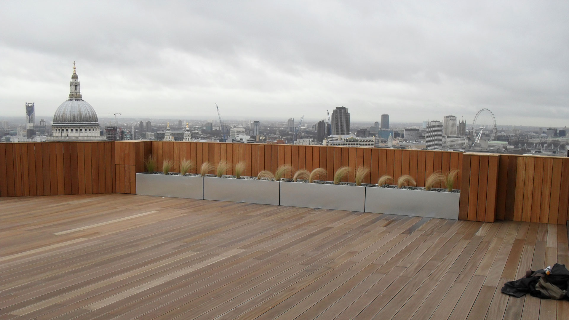
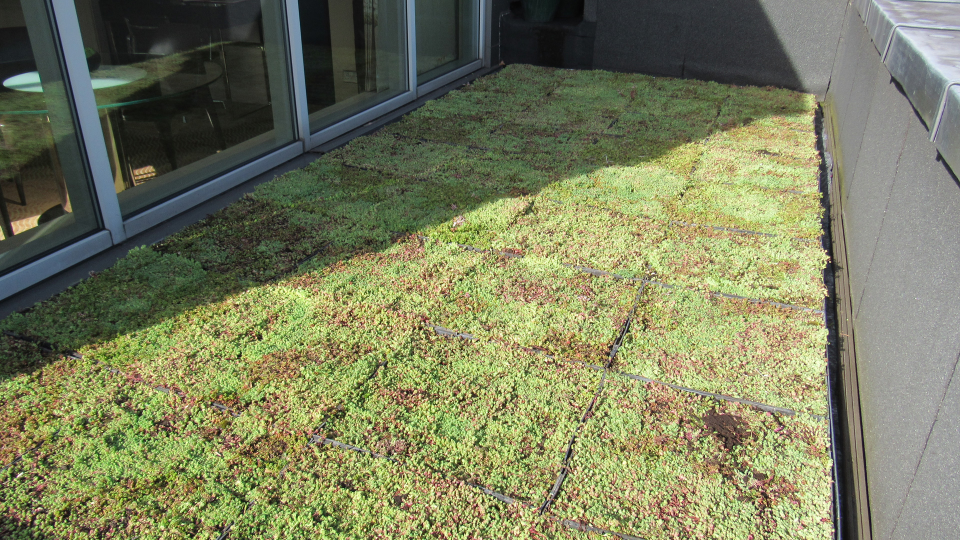
- Green roofs map
- Urban heat island map
- Greenness index
- Natural capital borough map
For more information and to check out these maps, please click here.